Planned route versus actual coverage
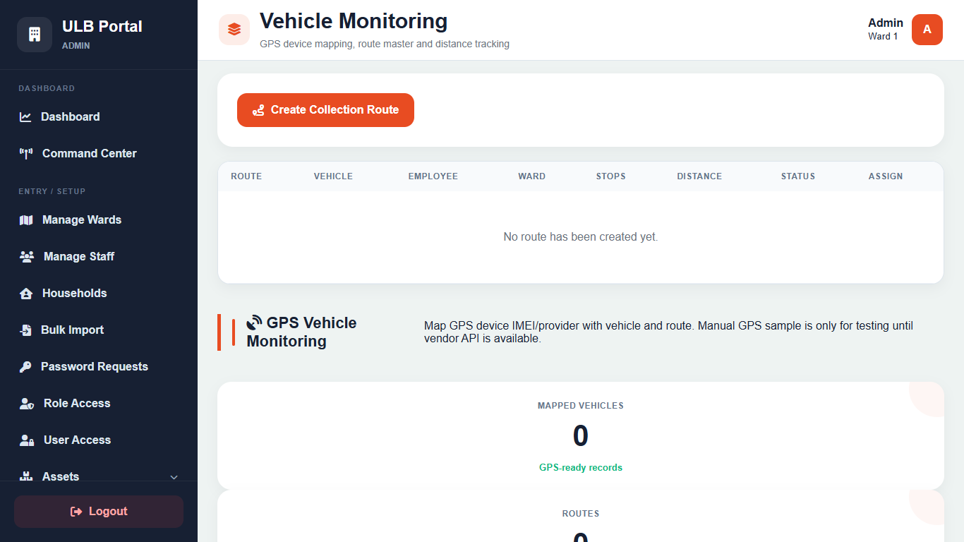
Municipal Vehicle Route Monitoring
Design ward collection routes, connect GPS-enabled vehicles and review route coverage by vehicle, ward and date.
The ULB challenge
A GPS dot shows vehicle location but does not explain whether the assigned collection route was covered. Route geometry and historical GPS points must be compared.
Capabilities available in the portal
Purpose-built records and workflows aligned with practical municipal operations.
How the workflow operates
A clear digital path from setup and field entry to officer review.
Operational value for the ULB
इस जानकारी को हिंदी में पढ़ें
नगर निकाय और स्वच्छता प्रबंधन से संबंधित पूरी जानकारी हिंदी में उपलब्ध है।